SAILGRIB WR
free or €59.99 - Android only
SailGrib WR (Weather Routing) is a comprehensive navigation and weather routing application that integrates all the features of SailGrib (see SailGrib in the weather apps).
Marine charts are available for in-app purchase (Navionics charts or SHOM/UKHO charts), and Navionics charts are provided for free if you already own them via Navionics Boating Sea and Lakes. A free download of an atlas of all NOAA charts is also offered.
On the weather side, the application provides access to Grib files from NOAA, Météo France, Great Circle, Météo Consult, My Ocean, Open Skyron, GMN, as well as tide forecasts for major global ports and an atlas of tidal currents for European coasts. It allows the acquisition and display of isobaric charts (NOAA and MetOffice). With native support for Iridium GO!™, users can directly download weather models.
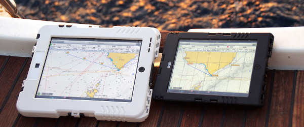
The application offers a navigation panel, isochrone routings, over 400 polar charts, NMEA data, and an AIS with alarms.
For routing, users can set many parameters, such as the wind force multiplier coefficient, a theoretical route, the date and time of departure, as well as 140 speed polars for the most common sailing boats, with the possibility of adding their own sailboat's polar. It evaluates the effectiveness of the polar on a beat and a run for different wind strengths, the wind limit values for beating and running, the minimum upwind angle for cruising comfort, and the loss of efficiency during the night (safety risks, no spinnaker, etc.). Mixed routing under motor and sail is possible, but only users of the paid version can load tide current forecasts for the Atlantic coast for free.
The application includes an interface for tracking and automatically filling out a logbook, linked to a web service called Navygatio, which allows recording all navigation data. This web service is shared with Weather4D Routing & Navigation.
The free version is limited to 48 hours of forecasts, the GFS weather model at 0.5°, one day of tide, and a routing of 50NM.