Your cart
There are no more items in your cart
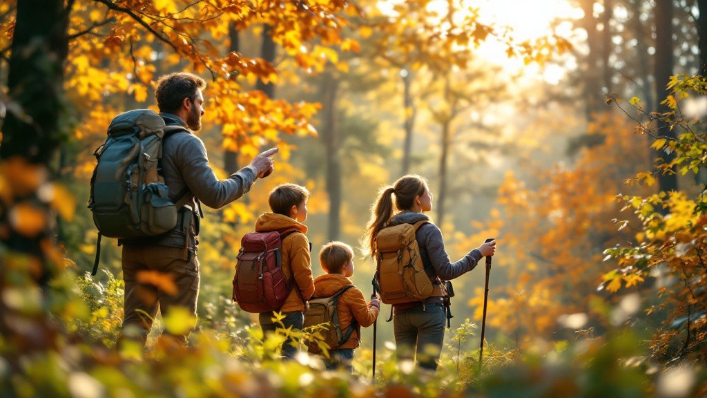
Make the most of your hikes with a smartphone!
It's long been unthinkable to go hiking without your cell phone, for obvious safety reasons. But the arrival of smartphones and tablets has changed all that. With their large touch screens, cameras, near-permanent Internet access and built-in GPS with positioning to within a few meters, all these features are now available in applications that let you enjoy your passion even more.
Rediscover hiking with a smartphone
Correct orientation requires a minimum of suitable instruments. Historically, paper maps and compasses have been part of every hiker's toolbox. The arrival of portable mini GPSunits has revolutionized the sport, making it possible to always know where you are and/or how to reach your destination.
With a smartphone or tablet, you can do much the same thing... only better! Firstly, the screen of a smartphone, and even more so that of a tablet, can display color topographic maps with a paper-like rendering.
Gone are the days when paper maps crease from folding and unfolding, get damaged and torn in the rain, or are difficult to handle in the wind. With the essential iPhiGéNie application (but there are others - see our selection of orienteering/GPS applications), you can download all IGN topographic maps and then consult them at any time, even without network access. And if you need to find north, your iPhone can also be used as a compass!
There are also numerous weather applications to help you prepare your route. You can benefit from high-quality weather forecasts (temperature, rainfall, risk of thunderstorms, risk of rain in the next hour, etc.) for up to 10 days, with the possibility of updates en route as soon as a 4G network becomes available again. Of course,4G internet access is also useful for many other purposes, from sending e-mails to making reservations at gites and refuges en route.
If you'd like to assess your sporting performance, there are a number of apps(see our selection) that provide a wealth of interesting data for tracking your progress: distance covered, time taken, average speed and maximum speed. You can also record all your tracks, take photos and share them with your friends. hiking in the rain
Treasure-hunting hiking: Geocaching
The arrival of smartphones and tablets has also brought with it new ways of thinking about outings.
So, to add a playful touch to their hikes and interest children, some hiker-internauts have started to hide small objects in nature, exchanging directions on how to find them. This is how Geocaching developed, a simple, fun way to spice up your hike by going on a real treasure hunt! More than 2 million "treasures" are hidden in geocaches around the world.
By downloading the Geocaching application, you can access information on nearby caches and find them using your GPS. Once found, you can take the contents of the cache, provided you replace them (small toys, trinkets, coins, etc.). For more information, visit www.geocaching.com.
In terms of equipment, the choice is yours to make your tablet your best hiking companion: from an iPhone in your pocket or on your arm, to an iPad mini held in your hand or slung over your shoulder, there's no shortage of protection and carrying solutions!
Useful links
- selection of orientation/GPS apps
- selection of weather apps
- Various hiking forums and websites: Visorando, Camptocamp, Randonnée-passion.