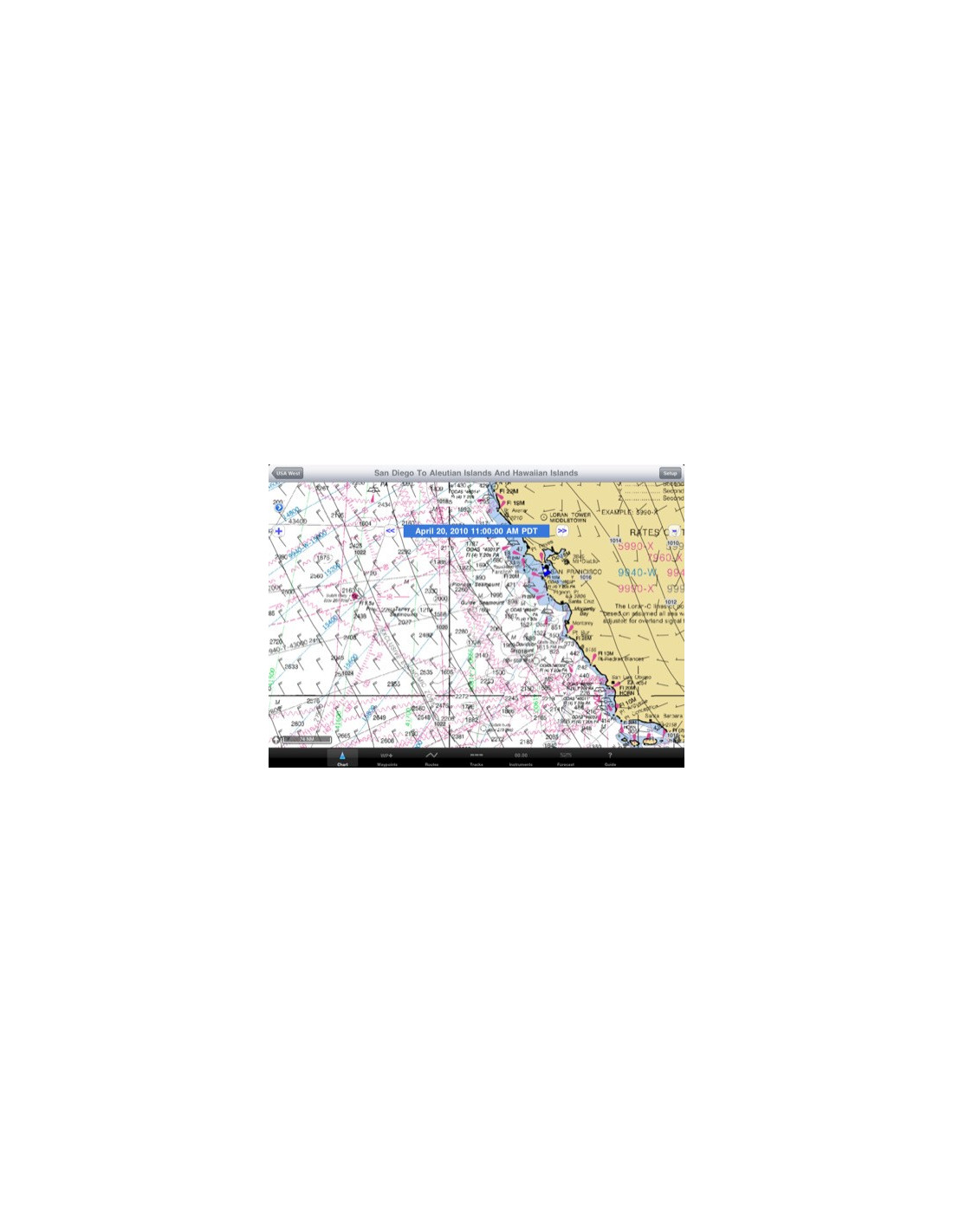
iNavX Marine navigation
- Shipments at 12 PM from Monday to Friday.
- Possible returns within 30 days (see conditions)
- Secure payment by card or bank transfer.
Download iNavX Marine Navigation from the Appstore
Simply the best chartplotting application at the moment
iNavX ™ supports the use of waypoints and routes, track recording, distance measurements and bearings. It also provides a convenient digital instrumentation mode. It allows the loading and rendering of GRIB weather files directly on the maps.
ATTENTION: Navionics charts available for download from the iTunes AppStore ARE NOT COMPATIBLE with iNavX . It is necessary to load your map directly from the iNavX application with Fugawi Marine X-Traverse . But the cost is very reasonable: for example the Navionics 46XG map covers the French Atlantic coast, English Channel and a half of the Mediterranean for just $ 60 or € 42.
More:
- See a video tutorial (French)


